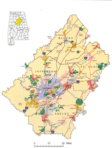
Percentages of military veterans, residents carpooling to work and divorcees living in each of the state’s 12 metropolitan areas, as well as types of occupations, median household income rates and more are easily located in the first edition of the Atlas of Alabama Metropolitan Areas. The atlas was produced by Craig Remington, director of the Cartographic Research Laboratory for the department of geography within UA’s College of Arts and Sciences.
Other atlases recently produced by the lab include the fourth edition of the Atlas of Alabama Counties. It focuses on current demographic and economic data on a county-by-county basis. A current map of each county is provided along with numerous charts and tables in the spiral-bound, 325-page volume.
The second edition of the Statistical Atlas of Alabama is an updated version that focuses on current demographic and economic data on a statewide basis, allowing for comparisons between counties. The atlas contains both 1990 and 2000 census statistics that reflect upon changes in the state. This atlas’s 14 chapters include information on population characteristics, age, housing, employment, family characteristics, education, health and medicine, politics, agriculture, climate and more.
Additional information on these publications, including a printable order form, is available on the lab’s website at www.as.ua.edu/geography/cartlab/.